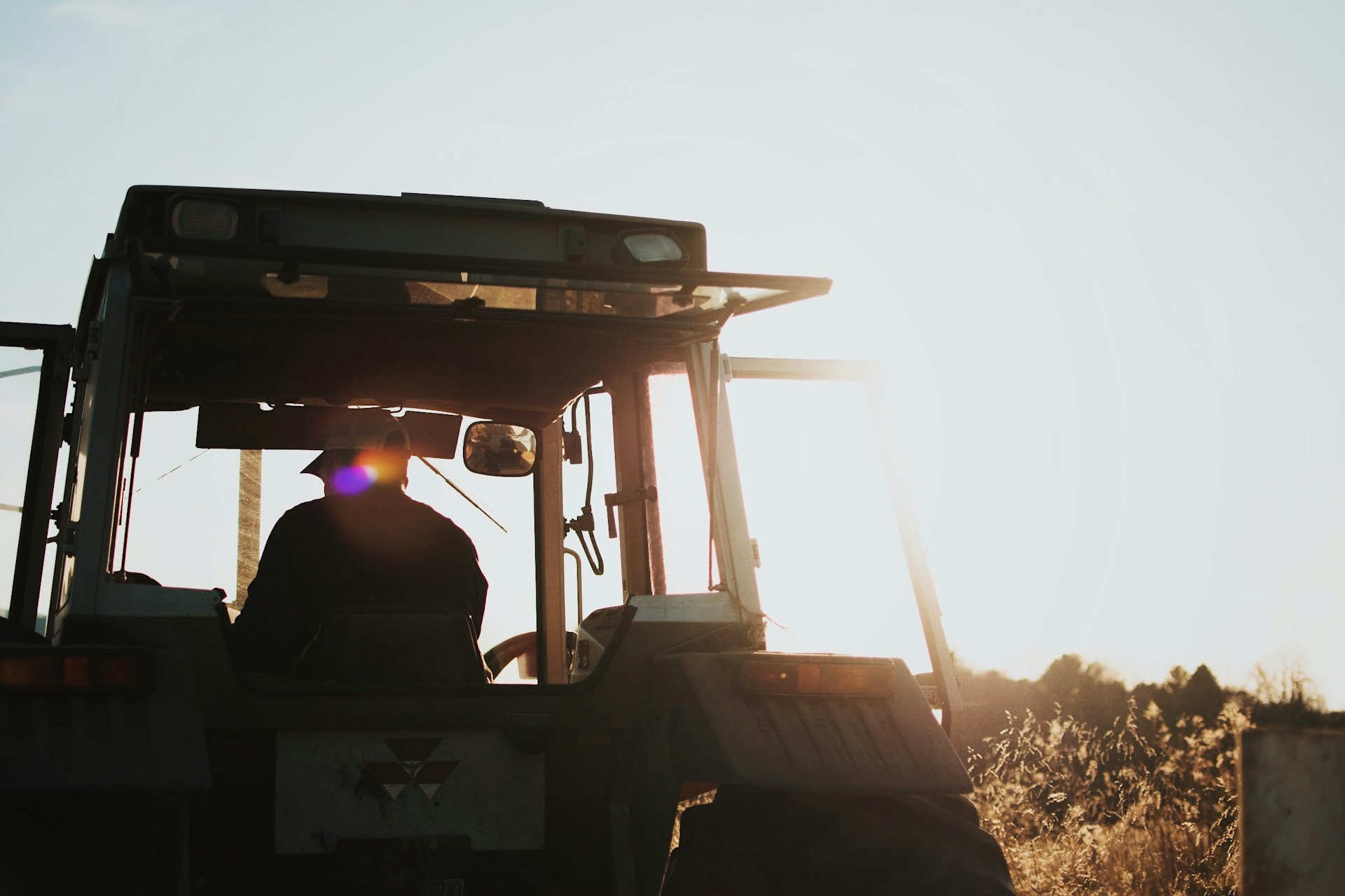
The evolution of precision agriculture tools is a never-ending journey, with constant updates and improvements to the system. Given the vast array of farming technologies, it’s perfectly understandable if you find yourself overwhelmed when deciding which tools to adopt. But not to worry! Each tool has a specific purpose, so there’s no need for confusion. Take a moment to consider your primary goals. The implementation of these technologies might be advantageous for those running large-scale operations. Look at top precision agriculture tools you can adopt for medium to vast-scale agribusiness.
Agricultural GPS Systems
Two primary types of GPS technology are used in precision agriculture: RTK and GNSS. Both can significantly increase agribusiness profitability. While RTK and GNSS play essential roles, they have critical distinctions in accuracy and application.
RTK GPS for Agriculture
RTK-GPS is crucial for modern farming automation. It allows for the creation of highly detailed maps of fields, which help you make intelligent decisions about where to plant crops and how to manage the soil. By tracking the exact location of harvesting equipment, RTK-GPS helps produce precise maps that show which parts of a field are more or less productive. This information lets you adjust their fertilizer use, how much seed they plant, and other practices to improve yield across your field.
GNSS Technology in Agriculture
GNSS, or Global Navigation Satellite System (GNSS), is a collection of satellite systems such as GPS from the USA, GLONASS from Russia, Galileo from Europe, and BeiDou from China.GNSS receivers are usually cheaper than RTK receivers but need to be more accurate, ranging from one to several meters. Despite this, GNSS receivers are very useful for many farming tasks.
They help guide tractors for tasks such as planting seeds and spraying crops, even though they are not as accurate as RTK-GPS. GNSS data also enables you to make maps of your fields, track where their equipment is, and use advanced farming techniques like Variable Rate Technology (VRT) when exact precision isn’t necessary.
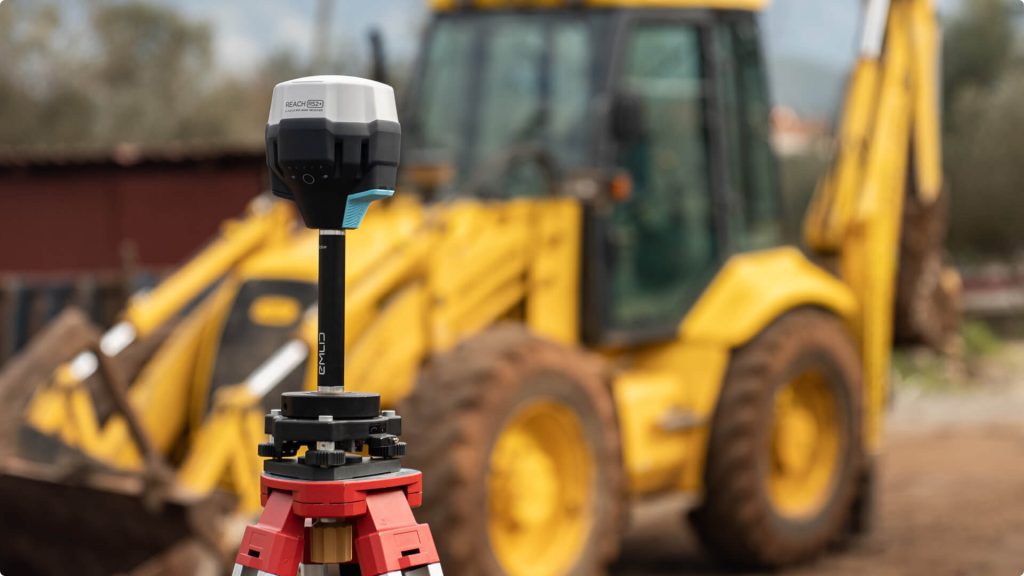
(The example of RTK GNSS Receiver for agriculture used from Emlid.)
Variable Rate Technology (VRT)
VRT stands for a technology and method used in intelligent farming. It’s not a tool you can touch but a way of using data, computer analysis, and special equipment to help farmers. Instead of treating the whole field the same way, VRT lets you apply fertilizer, seeds, and weed killers differently across various parts of the field, depending on what each part needs.
Illustration of VRT Works in a Corn Plantation
First, you gather information by conducting soil tests, determining the amount of corn harvested from different parts of the field, and examining satellite pictures.
Then, you use VRT software to make sense of this information. The software shows that the field has three areas: one doesn’t grow corn well because the soil could be better, another is okay, and the last has great soil that grows corn well.
With this information, you can make a map that tells them how much fertilizer to use in each part. The area with poor soil gets the most fertilizer, the okay area gets a moderate amount, and the best area receives the least because it doesn’t need as much.
Finally, you can use a particular VRT machine on their tractor that knows where to spread different amounts of fertilizer as it moves across the field. This intelligent machine uses GPS to know where it is in the field and follows your map. Each field part gets what it needs to grow the best corn possible.
Agricultural Drones
The power of using advanced technology to apply fertilizer and other farming resources gets a big boost when you also use agriculture drones to collect information. These drones have unique cameras and sensors that can take detailed pictures and gather information about the crops’ health and the soil. Using this information, you can make a detailed map of the field that shows exactly which parts need more attention.
Then, you can use VRT, which enables you to use this map to do something about it. Drones, equipped with tools for spraying, can be set up to only give fertilizer, water, or pesticides to the parts of the field that need it. For example, if the drone notices that a particular area has a lot of pests, it can treat just that area, using less pesticide overall. Similarly, the map can show where the soil lacks nutrients, and you can target those areas for fertilizer. This way, the collaboration of VRT and agriculture drones benefits you as an agribusiness by allowing you to apply the correct pesticide dose to pesticides.
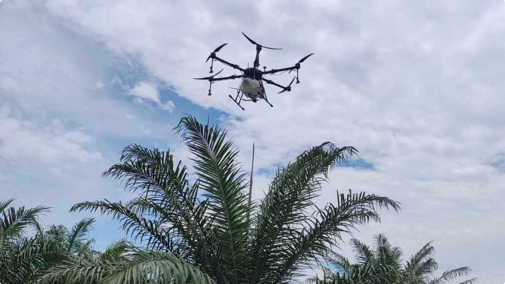
(The sample of agriculture spraying drones for a vast plantation. Drones by Terra Agri)
Agricultural Weather Stations
Weather stations are essential precision agricultural tools nowadays, as they aid in making agriculture more profitable. While there are weather stations designed for indoor use, they are primarily built for outdoor farming in open fields, where they play a crucial role in gathering data that affects crops.
Outdoor vs Indoor Weather Stations
Outdoor weather stations are designed to withstand harsh weather conditions and collect a wide range of data, including temperature, humidity, wind speed and direction, and precipitation. This data is critical in making real-time decisions during the growing season. You can use this information to decide when to water your crops, monitor humidity to predict and prevent diseases and protect crops from frost or strong winds.
In contrast, indoor farming relies on weather stations to monitor and maintain ideal growing conditions. The focus is mainly on controlling temperature, humidity, CO2 levels, and light exposure. By carefully monitoring and adjusting these conditions, indoor farmers can create a perfect growing environment for specific crops, leading to efficient and steady growth.
Precision Agriculture Sensors
Agriculture sensors are changing the game in farming by giving you instant updates on what’s happening in your fields. These tiny devices monitor essential things like how wet the soil is, how much food is in the soil for plants, how warm or cool it is, how bright the sun is, and how fast plants are growing.
While sensors and weather stations are essential in farming today, they do different things. Weather stations are like tiny weather offices packed with sensors that check the weather in many ways—like how hot or cold it is, how much it’s raining, and how strong the wind is blowing. This information gives you a big-picture view of the weather on your farm, helping you plan better.
On the other hand, individual sensors focus on one specific thing at a time. They can check how moist the soil is at different depths, how warm or cold it is, or how many nutrients are in the soil. This detailed information can help you see what’s happening next to their plants or soil. It’s like looking closely at what each plant needs right now. So, if a part of the field is too dry, a sensor can tell you to water just that spot. Or if it’s getting too cold, a sensor can warn to protect the plants from frost.
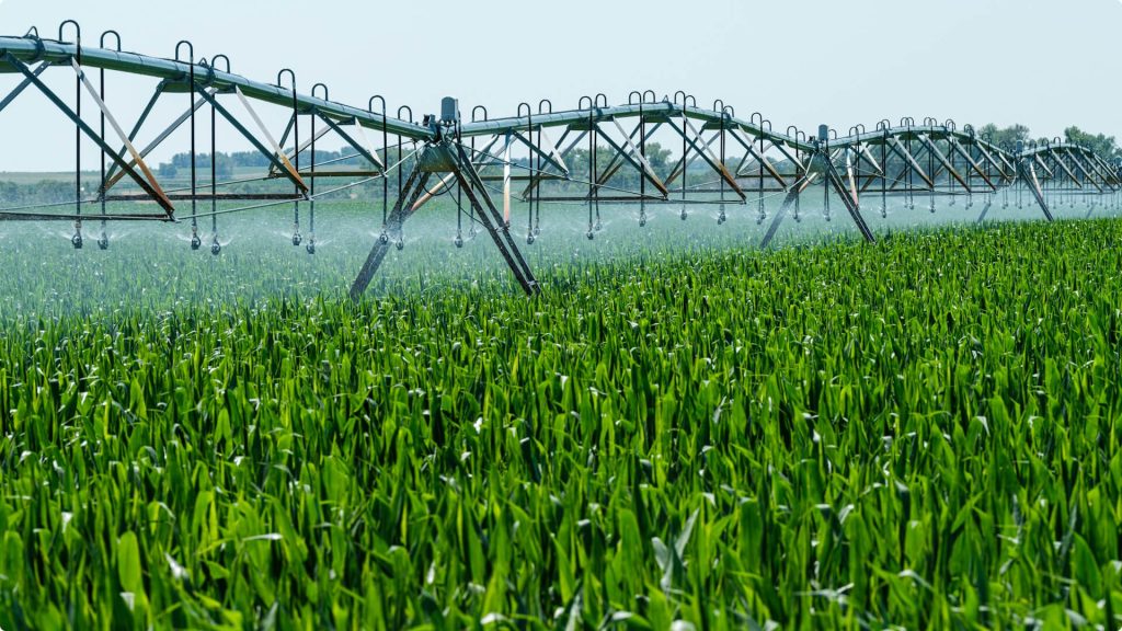
(Example of the implementation of agriculture sensors system for sprinkler spraying.)
Conclusion
In conclusion, precision agriculture offers many tools and technologies designed to enhance farming practices. While the variety of options may seem overwhelming, each precision agriculture tool serves a specific purpose, ensuring there’s no need for confusion. By aligning these technologies with your primary goals, you can leverage their benefits for large-scale operations.
