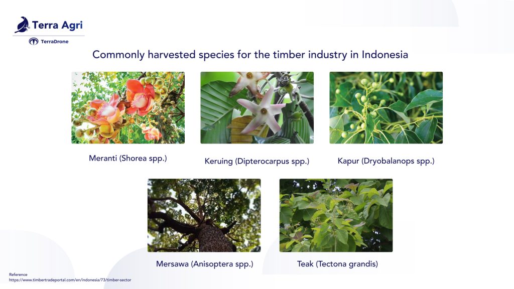
Did you know Indonesia is a net exporter of timber and timber products? Their exports are going worldwide, most going to the Far East. They export many processed goods like plywood, pulp and paper, mouldings, joinery, furniture, sawn timber, and veneer. Timber Trade Portal says around 40% of the country’s exports are wood-based, while over 50% of Indonesia’s wood-based exports are pulp and paper products.
Indonesia stands at a pivotal crossroads, where the quest for sustainable development intersects with the imperative to boost agricultural productivity. The solution? A leap into the future with agriculture technology, particularly the innovative use of agriculture mapping drones. Here is why agriculture drones can aid in making timber plantation trees more sustainable and profitable for agribusiness.
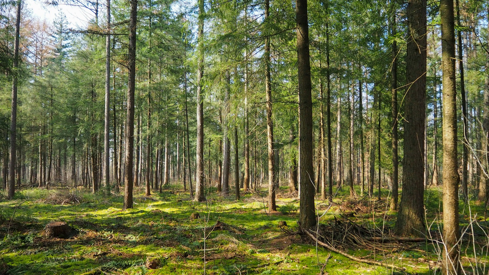
Characteristic of Timber Plantation Trees
Timber plantation trees are specially cultivated to yield wood, planted in vast, orderly arrays, and meticulously cared for to boost wood output. These plantations are fascinating ecosystems designed with productivity and sustainability in mind. Categorizing trees into timber plantations is easy. Usually, timber plantation trees have the characteristic following:
Rapid-Growth Species
Trimble plantation trees use only fast-growing, commercially valuable species known for their high-quality wood. Favourites include pine, eucalyptus, teak, and spruce, each selected for unique benefits.
Uniformity and Efficiency
Trees in a plantation are generally of the same species and planted at precise intervals to ensure uniform growth and streamline management. This systematic approach facilitates easier care and harvesting.
Advanced Silvicultural Techniques
Plantations employ sophisticated silvicultural strategies, such as thinning, which involves selectively removing trees to allow more room for the remaining ones to grow, and fertilization, which enhances wood production.
Scheduled Harvesting
Trees are harvested at a carefully determined time—known as the rotation period—when they’ve reached the ideal size and wood quality for their intended use, whether for pulpwood, lumber, or plywood.
How Agriculture Mapping Drones Help Timber Plantations Protect Sustainable Forestry Practices
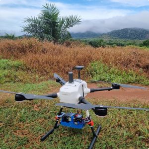
Agriculture mapping drones have revolutionized the way we identify specific tree species within timber plantations. By focusing on key characteristics such as tree height, crown size and shape, and crown colour, these sophisticated tools utilize LiDAR data to paint a precise picture of each tree. This innovation enables foresters to pinpoint trees ripe for harvest with unprecedented accuracy. Here’s how agriculture drones are aiding in making timber plantation trees more sustainable and profitable for agribusiness.
Optimize Resource Allocation
Transitioning to the task of mapping, the high-resolution imagery captured by drones offers a clear advantage. It allows for meticulously delineating different forest stands, detailing boundaries and species composition with finesse. This critical information lays the groundwork for sustainable harvesting practices, ensuring that ecological factors are carefully considered within the plantation. The goal? Promoting long-term sustainability.
Moreover, the insights from drone data on soil conditions and existing vegetation pave the way for optimized resource allocation. It is where the magic of variable rate seeding and fertilization comes into play. By tailoring the application of fertilizers and seeds to meet the unique needs of various areas within the plantation, waste is drastically reduced, and environmental impacts are minimized. It’s a targeted approach that speaks volumes about the power of precision.
Minimize Soil Compaction
However, one of the drones’ most noteworthy benefits is their ability to minimize soil compaction. Traditionally, heavy ground-based equipment has been a necessary evil in data collection and monitoring efforts, often at the expense of the soil’s health. Drones eliminate this issue by flying above the forest floor to gather the necessary data without ever touching the ground. This approach promotes healthier soil and plant growth and ensures the long-term sustainability of timber plantations.
Create Precise Harvest Plans
Finally, the detailed data on tree size, species, location, and health collected by drones serve as the foundation for creating precise harvest plans. This meticulous planning ensures efficient wood production while preserving healthy trees for future growth. It’s a strategic move that enhances the overall sustainability of the plantation, setting the stage for a greener tomorrow.
Conclusion
In summary, agriculture mapping drones have the potential to revolutionize sustainable forestry practices in timber plantations, making them more efficient, profitable, and environmentally friendly. As Indonesia continues to expand its timber exports, embracing agriculture drones can help the country achieve its sustainable development and agricultural productivity goals, ensuring a bright and sustainable future for its timber industry.
