RTK GNSS receivers are transforming precision tasks in surveying, agriculture, and drone mapping. These devices deliver centimeter-level accuracy, making them essential for professionals tackling land mapping or crop monitoring. Wondering which one stands out? The Emlid Reach RS2+ is a top RTK GNSS receiver trusted globally. This article answers all your questions about its features, drone integration, RTK/PPK modes, and limitations, helping you decide if it’s right for your projects in Indonesia and Malaysia.
What is the Emlid Reach RS2+ RTK GNSS Receiver?
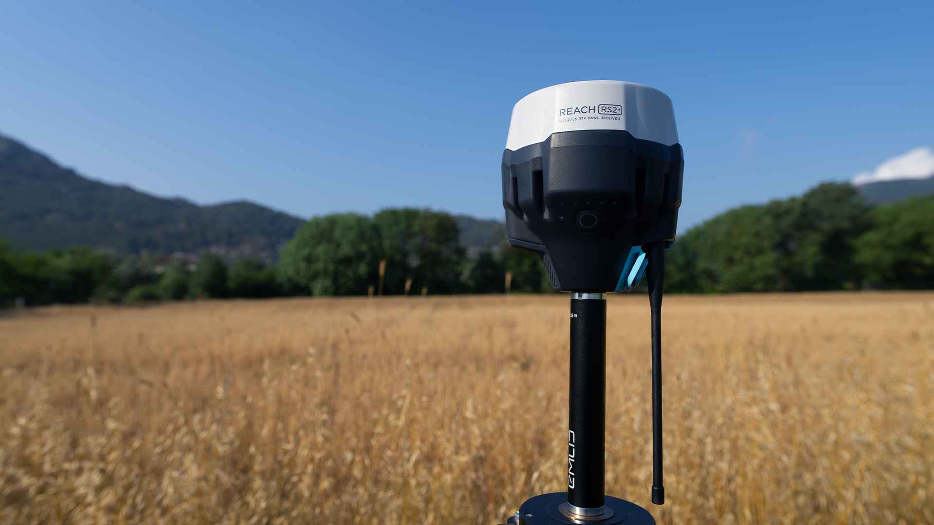
The Emlid Reach RS2+ is a high-precision RTK GNSS receiver offering pinpoint accuracy. It tracks GPS, GLONASS, BeiDou, and Galileo satellites, ensuring reliable fixes in urban or rural settings. Its LTE modem provides global connectivity with 2G/3G fallback for real-time corrections. The LoRa radio supports RTK communication up to 8 km without internet, perfect for remote areas.
With an IP67 rating, the Reach RS2+ resists water, dust, and impacts, ideal for Indonesia and Malaysia’s humid climates. Its 22-hour battery (16 hours as an LTE rover) powers long fieldwork sessions. The Emlid Flow app simplifies configuration, data logging, and stakeouts on your smartphone, making it accessible for surveyors, farmers, and drone operators.
RTK GNSS Receiver for Drone Mapping and Surveying
The Reach RS2+ shines in drone mapping and surveying across industries in Indonesia and Malaysia. It integrates with RTK drones like the DJI Matrice 300 RTK, serving as a base station. By sending real-time corrections via LTE or LoRa, it ensures drones achieve centimeter accuracy, reducing ground control points. This supports agriculture, construction, and land surveying projects.
Users gain precise data for crop monitoring, site planning, or topographic mapping. The Reach RS2+ pairs with software like Pix4D for accurate 3D models, improving project outcomes. However, setting up NTRIP or LoRa can be complex for new users, requiring some technical knowledge to configure corrections and ensure seamless drone and survey workflows with this RTK GNSS receiver.
RTK and PPK Modes: How They Work
The Reach RS2+ supports two modes: Real-Time Kinematic (RTK) and Post-Processed Kinematic (PPK). RTK mode delivers centimeter accuracy over 60 km using LTE for NTRIP corrections or LoRa for local setups. It’s ideal for real-time tasks like drone mapping or live stakeouts, achieving fixes in seconds.
PPK mode logs raw data for post-processing, supporting 100 km baselines. It’s suited for remote areas in Indonesia and Malaysia, like rural Kalimantan or Sabah, with poor LTE coverage. Emlid Studio processes data for identical accuracy. RTK is best for urgent projects, but LTE dropouts may require LoRa’s 8 km range or PPK. Both modes meet diverse surveying and mapping needs.
Pros and Cons of the Reach RS2+ RTK GNSS Receiver
The Reach RS2+ is affordable, offering premium features at a lower cost than competitors like Trimble. Its multi-band GNSS ensures reliable fixes in challenging environments, such as dense foliage or urban areas. The IP67 design withstands tropical rain and heat, and the Emlid Flow app streamlines tasks. Free Emlid Studio enhances PPK processing.
However, it lacks tilt compensation, requiring manual pole leveling, which slows surveys on uneven terrain. LTE connectivity can fail in remote areas, disrupting RTK mode. The Emlid Flow app may challenge beginners. Using LoRa for short-range RTK or PPK for offline work helps, but these add steps for users.
Why Buy the Reach RS2+ from Terra Agri?
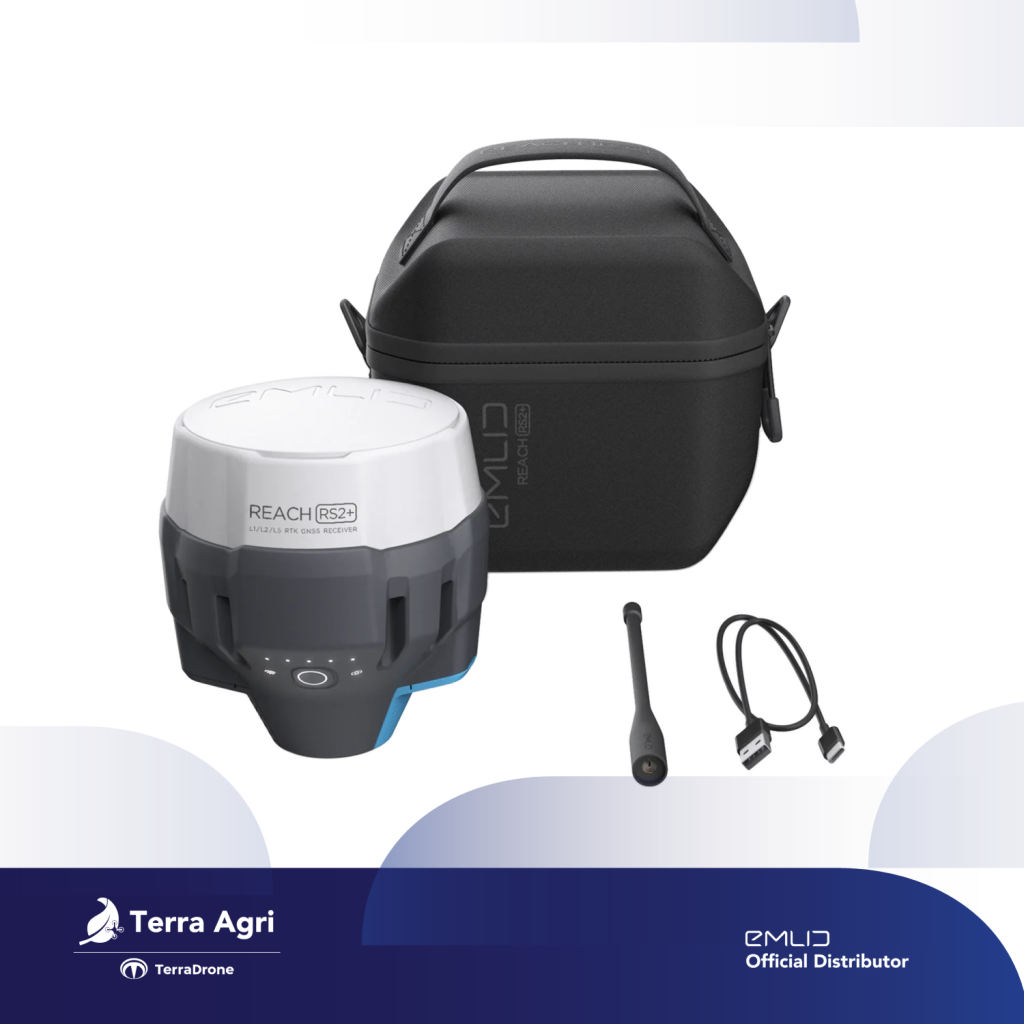
Terra Agri is a trusted Emlid distributor serving all customers in Indonesia and Malaysia. We sell the Emlid Reach RS2+ through our website and Tokopedia, offering the best price and a one-year warranty. Whether you’re a surveyor, farmer, or drone operator, you can easily purchase this RTK GNSS receiver to elevate your projects. Shop with confidence, knowing Terra Agri provides reliable access to this powerful tool at a competitive cost.
The Emlid Reach RS2+ is a top RTK GNSS receiver for Indonesia and Malaysia. Its RTK/PPK modes, drone compatibility, and affordability make it ideal for surveying, agriculture, and mapping. Despite minor limitations, it’s a powerful tool. Buy yours from Terra Agri’s website or Tokopedia to start today.
