The agricultural sector frequently finds itself on the frontline of natural and human-made disasters. These events can severely harm crop yields, livestock health, and the well-being of those who rely on farming. That’s why it’s imperative to implement effective disaster management strategies. Doing so helps to lessen these risks, diminish environmental harm, and protect the livelihoods of billions of people globally.
Bringing agriculture drone technology into disaster management in agribusiness introduces both opportunities and challenges. As we embrace technology to enhance farming practices, we must be aware of potential risks. Our goal is to create a secure and resilient agribusiness sector. This critical issue forms the foundation of our discussion on the significance of mobile security, safety, and disaster management in agribusiness.
3 Ways Agricultural Drones Can Be Used for Surveillance
Ensuring Security with Plantation Perimeter Patrol
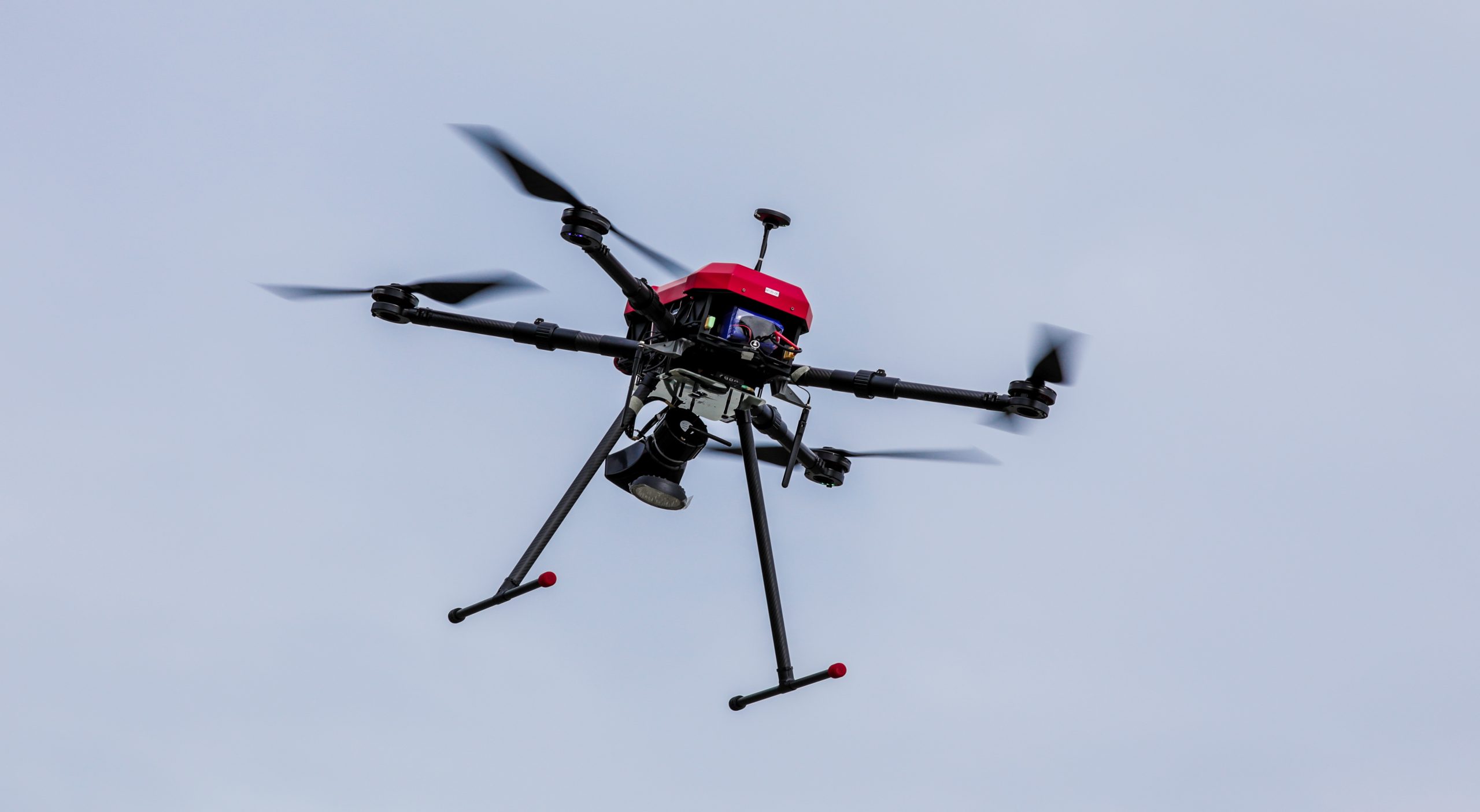
Large plantations often need help with maintaining security over vast expanses. Manual patrols are traditionally responsible for this task but are labor-intensive, time-consuming, and costly. However, drones with high-resolution cameras and advanced sensors present an innovative approach. Farm security drones autonomously patrol the perimeters of plantations, providing live feeds to detect potential intrusions or damage to fences.
The aerial perspective from drones enables comprehensive monitoring that ground patrols cannot achieve. Plantation managers, upon identifying security breaches or damages early, swiftly take corrective actions. This approach mitigates risks and optimizes resource allocation by reducing reliance on extensive manual patrols. Consequently, deploying security drones for plantations enhances work efficiency in large agricultural enterprises.
Disaster Response with Drones for Fire Prevention
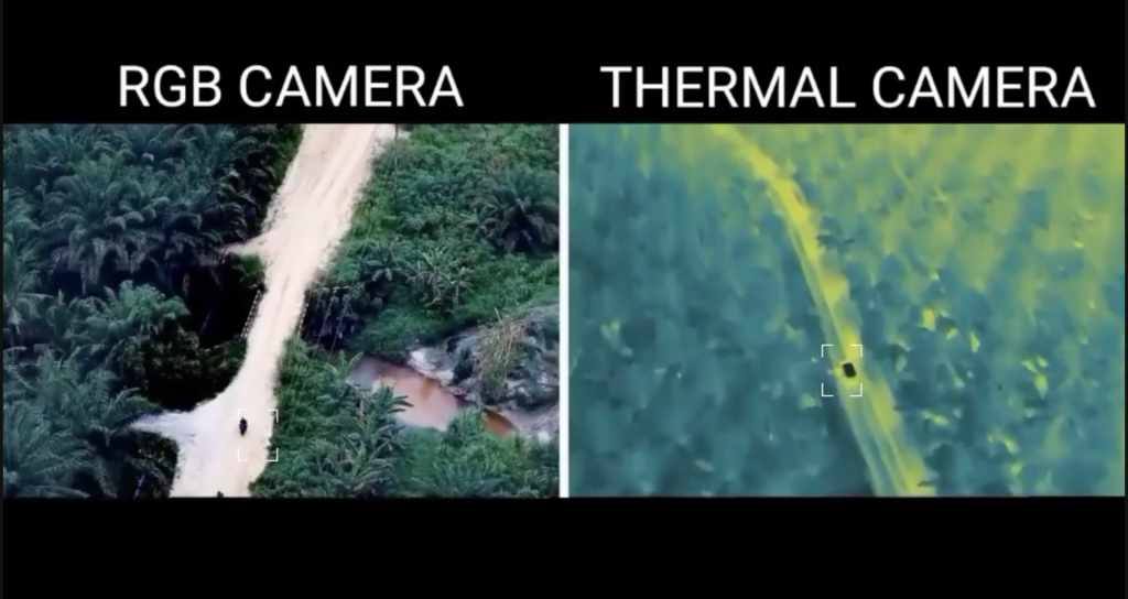
In agriculture, fire prevention becomes critically important, especially in regions prone to dry conditions. Here, drones equipped with thermal imaging cameras become indispensable. They scan vast areas of forests and plantations to identify hot spots—areas showing elevated temperatures indicating potential fire risks.
Early detection of these hot spots allows farmers and land managers to take preventive measures, such as removing dry vegetation or applying water to high-risk areas, significantly reducing the likelihood of fires starting and spreading. The early warning capability of thermal drones protects valuable agricultural assets and contributes to environmental conservation efforts by preventing wildfires.
Farm Security Drones for Cattle Tracking
Managing livestock on large farms is challenging, particularly monitoring animals’ health and locations. Drones equipped with GPS and high-resolution cameras efficiently solve this problem by quickly covering large areas. They deliver real-time data about the livestock’s whereabouts and condition.
This technology ensures farmers can keep their cattle within designated boundaries and in good health. Agricultural monitoring drones assist in locating stray or missing animals, monitor for signs of illness or distress, and provide a comprehensive herd overview. Drones improve animal welfare and boost productivity by enhancing livestock management.
The Difference Between Surveillance and Mapping Drones in Agricultural Applications
Surveillance and mapping drones stand out for their significant contributions, yet they are inherently distinct in their objectives and capabilities.
Surveillance Drones
Drones in crop monitoring specialize in real-time tracking and patrolling. They excel at delivering immediate data about the conditions of crops, livestock, and potential threats over widespread areas. High-resolution cameras and often thermal imaging capabilities equip these drones, allowing them to detect hot spots in forests and plantations—an essential function for preventing fires.
In managing livestock, agriculture surveillance drones monitor animal locations and health statuses, ensuring their safety, keeping them within farm boundaries, and preventing distress. The ability of these drones to transmit data in real-time allows for quick, informed decision-making to tackle emerging issues.
Mapping Drones
In contrast, mapping drones focus on producing detailed maps and surveying farmland. They collect in-depth data concerning soil types, topography, and crop health. This detailed data proves vital in making strategic choices about planting, fertilizing, and harvesting. Mapping drones can swiftly cover vast areas with high precision, offering invaluable insights into the characteristics of the land—these insights aid in optimizing farming operations, enhancing crop yields, and efficiently managing resources. While surveillance drones concentrate on immediate monitoring, mapping drones give a broader, more strategic perspective of the agricultural landscape.
Surveillance drones and mapping drones offer unique benefits, addressing immediate security needs and long-term strategic planning. This technology ensures a secure and resilient agribusiness landscape, promoting sustainable farming practices and enhancing global food security.
Conclusion
Integrating agricultural surveillance drones into disaster management and plantation security offers a promising future for agribusiness. With their advanced capabilities, these drones make monitoring large agricultural areas more efficient and effective, ensuring timely interventions and protecting valuable assets. Using drone technology for perimeter patrol, fire prevention, and livestock tracking can significantly reduce risks while productivity is boosted.
