
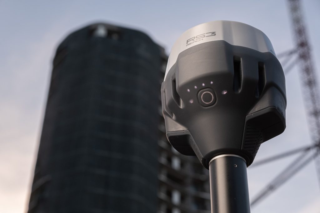
When choosing an RTK GNSS receiver, the most important question is simple. How well does it perform in real working conditions?
Many receivers can deliver high accuracy in open areas. But in actual projects, surveyors and field teams often work in places where signals are weak, blocked, or unstable. This is where the difference between the Emlid Reach RS3 and the Emlid Reach RS4 becomes clear.
Both devices are built for survey-grade positioning, but the RS4 focuses on improving how fast and how reliably you can complete work in challenging environments such as plantations, construction sites, and partially obstructed areas.
This comparison explains the differences in a practical way, based on how these devices are used in the field.
What Makes an RTK GNSS Receiver Reliable in Practice
An RTK GNSS receiver works by using correction data from a base station or network to deliver centimeter-level accuracy.
In controlled conditions, most modern receivers can achieve this level of accuracy. The real challenge comes when working in environments where:
– satellite signals are partially blocked
– reflections create multipath interference
– trees or structures reduce signal strength
– the RTK fix becomes unstable
In these situations, performance depends on how well the receiver can maintain a stable position, not just how accurate it is under ideal conditions.
Comparison Table of Emlid Reach RS3 vs RS4
At a glance, the RS3 and RS4 may look similar. In practice, the RS4 introduces several improvements that directly affect daily workflows.
| Feature | Reach RS3 | Reach RS4 |
|---|---|---|
| GNSS capability | Multi-band | All-band (L1, L2, L5, L6) |
| Tilt compensation | IMU-based | Faster next-generation IMU |
| Tilt initialization | About 30 to 40 seconds | About 5 to 7 seconds |
| Mount system | Standard | Backlash-free quick-release |
| Radio | LoRa and limited options | UHF and LoRa, transmit and receive |
| Build | Industrial-grade | Magnesium alloy with IP68 rating |
These differences may seem technical, but they translate into real improvements in speed, stability, and ease of use.
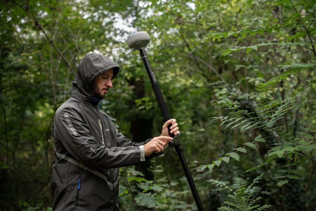
Working Under Canopy and Obstructed Areas
One of the biggest challenges in surveying is working under tree cover. This is common in environments such as:
– oil palm plantations
– forestry areas
– dense agricultural fields
In these conditions, GNSS signals are often weakened or blocked before reaching the receiver. Signals can also bounce off surfaces, which creates errors.
For field teams, this usually means:
– longer waiting time to get a fixed solution
– interruptions during measurement
– inconsistent accuracy
Why the RS4 Performs Better in These Conditions
The Emlid Reach RS4 is designed to handle these challenges more effectively. It supports all GNSS bands, which allows it to track more satellite signals at the same time. This increases the chance of maintaining a stable position even when some signals are blocked.
It also has improved signal processing, which helps reduce the impact of multipath interference. In simple terms, it can better distinguish between useful signals and reflected ones.
In practical use, this means:
– faster time to get a fixed position
– fewer signal drops during work
– more consistent accuracy across the field
Compared to the Emlid Reach RS3, the RS4 spends less time struggling to maintain a stable position in difficult environments.
Faster Workflows with Improved Tilt Compensation
Tilt compensation allows you to measure points without keeping the pole perfectly vertical. This is important when working quickly or in tight spaces. The RS3 already offers reliable tilt compensation. However, it takes some time to initialize before it is ready to use. While the RS4 improves this process significantly.
Instead of waiting around half a minute, tilt compensation is ready in just a few seconds. This makes a noticeable difference when collecting many points in a row.
In real work, this means:
– less waiting between measurements
– smoother workflow when moving between points
– better efficiency in time-sensitive projects
More Stable Measurements with a Better Mount
Another improvement in the RS4 is the mounting system. In many setups, small movements between the receiver and the pole can affect accuracy, especially when using tilt. This is often caused by slight looseness in the mount.
The RS4 introduces a backlash-free quick-release mount. It holds the receiver firmly in place, reducing unwanted movement.
This helps ensure:
– more consistent results
– better stability when tilting the pole
– less chance of measurement errors
It is a small change, but one that makes everyday work more reliable.
Connectivity and Flexibility in the Field
Both RS3 and RS4 support standard RTK workflows, including working with NTRIP networks or setting up a base and rover.
The RS4 adds more flexibility by supporting both UHF and LoRa communication, with transmit and receive capability.
This is useful when:
– working in remote areas without internet access
– covering large project sites
– coordinating multiple teams in the field
With more communication options, the RS4 adapts better to different working conditions.
Ease of Use with Emlid Flow
Both receivers use Emlid Flow for configuration and data collection. The software is designed to be simple and practical. Users can:
– set up the device
– collect and manage data
– perform stakeout tasks
– sync projects through the cloud
Because the interface is easy to learn, teams can involve more people in fieldwork without requiring deep technical expertise. This helps improve team efficiency and scalability, especially on larger projects.
Where Each Device Fits Best
Surveying and Construction
Both devices can handle standard tasks such as:
– topographic surveys
– layout and stakeout
– as-built documentation
The RS4 is better suited for projects that require speed and consistency, especially in complex environments.
Plantation and Agribusiness
For work under tree cover, the RS4 has a clear advantage. It provides:
– more stable positioning
– faster measurements
– better performance in difficult signal conditions
Drone Mapping
Both devices can be used as base stations or for collecting ground control points. The RS4 offers more reliable performance in areas where signal conditions are less predictable.
Where to Get Emlid Reach RS3 and RS4
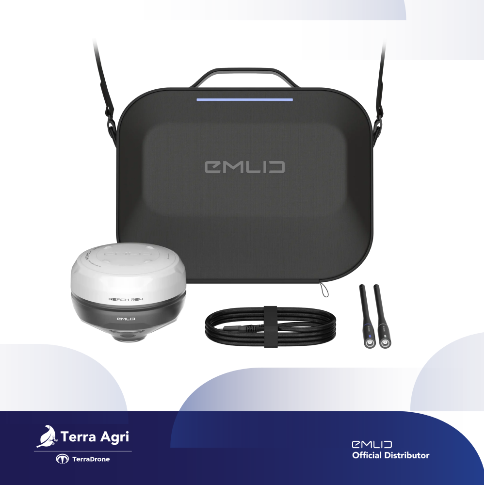
If you are planning to use RTK GNSS receivers like the Emlid Reach RS3 or the Emlid Reach RS4, choosing the right distributor is just as important as choosing the device itself.
As an official distributor, Terra Drone Agri provides access to both products along with local support to help you get started and operate effectively in the field.
You can purchase these devices directly through the Terra Drone Agri website or via their official store on Tokopedia.
For teams that are new to GNSS surveying or expanding their operations, having access to proper guidance and after-sales support can make a real difference in how quickly the technology is adopted and used effectively.
