Agriculture Mapping Drone

Vegetation Indices
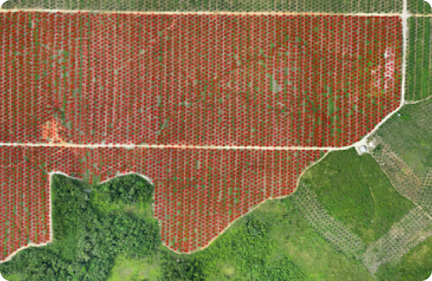
We use advanced agriculture mapping drones equipped with RGB and Multispectral Sensors for precise data collection during high-tech aerial surveying. This technology allows for monitoring Chlorophyll activity, weed detection, plants height measurement, tree scouting, and soil analysis through vegetation indices. The insights gleaned from this process provide our clients with invaluable information, enabling them to make informed decisions and implement effective crop management strategies.

Irrigation/Drainage Planning
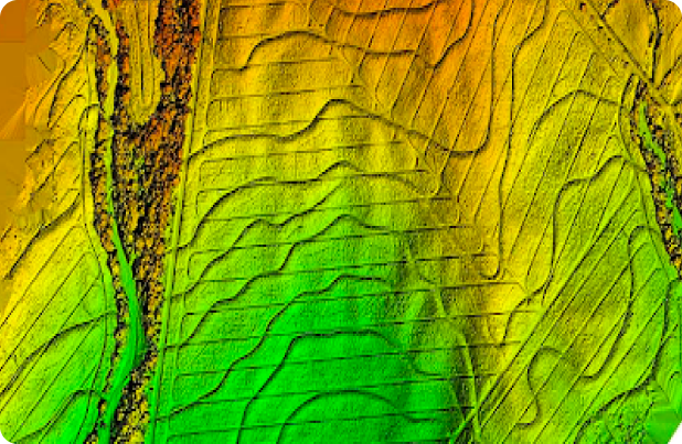
Efficiently manage irrigation and drainage systems using agriculture drone mapping, digital surface models, and multispectral data to identify areas requiring additional water or detect issues such as leaky irrigation pipes. These advanced techniques can enhance the efficiency and effectiveness of agricultural practices in terms of water conservation and maintenance.
Product Lineup
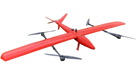
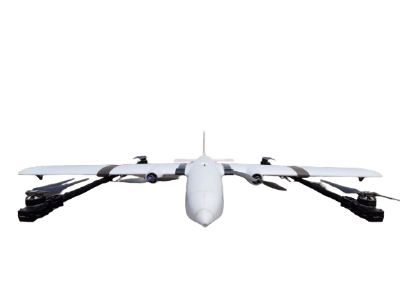
Customize our agriculture drone mapping for plantation / agriculture / forestry purposes.
Contact us for an inquiry or detailed information.


